

All the other websites have maps. Why not us?
UNCLE WALT’S INSIDER H.Q., SVALBARD — In what can only be described as “shocking” (it’s right there in the headline, see?), a new map of the United States of America provides amazing insight into our current condition. Uncle Walt’s Insider is the only place you will see this information, at least until Snopes tries to fact-check us again.
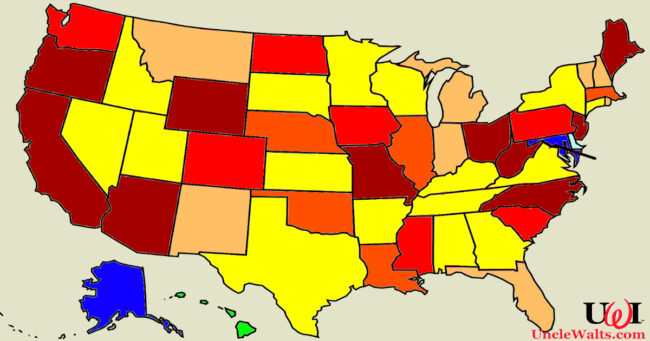
“As you can see, there are many different colors on the map,” said Marty Ralks, creator of the map and author of this article, bizarrely interviewing himself. “Many of the states are red, some are orange, yellow, a kind of peachy color, and many are, like, brown? California, sure, we can understand why it would be brown, but West Virginia?
“Hawaii, of course, is green. Most troubling, though, Alaska and Maryland appear to be blue.”
Troubling, we asked ourselves?
“Well, yes,” Ralks replied. “First, no one really enjoys living in a blue state. Second, they clearly don’t fit the overall autumn color scheme.”
We had two more questions for Ralks (three if you count why he’s referring to himself in the first person plural while asking questions to himself). First, what does this map mean? And second, isn’t this website supposed to cover theme park news?
“What does any of this mean?” Ralks rambled. “I mean, what’s our whole purpose here anyway? Isn’t life more than a map? As for the theme park stuff, uh… Disneyland… Knott’s Berry Farm… moving to Texas… yada yada yada.
“There, that should satisfy the search engines’ bots.”
What do you think it all means? And why isn’t Georgia that peachy color? Comment below!
Need more Uncle Walt’s in your life? Be sure to LIKE us on Facebook, FOLLOW us on Twitter, and tell everyone you know!
Cover photo: Of all the color-coded maps of the United States, this is definitely the most recent! Image by Marty, used (inexplicably) without permission.